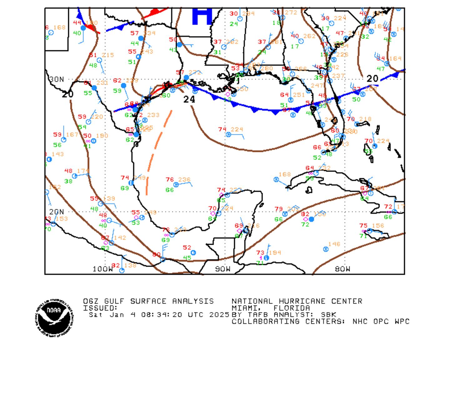
A very weak upper low is located over & near N. Florida otherwise the pattern for Jacksonville & surrounding areas is typical for early summer - an atmosphere loaded with tropical moisture & a good deal of showers & t'storms.
There are no areas of immediate tropical concern over the Atlantic Basin. A weak surface trough coupled with a tropical wave is producing a flare-up of convection over the far Southwest Caribbean. This will be an area to watch over the next week or so.
Deep tropical moisture from Central America across the Gulf to Florida....
Water vapor imagery below shows tropical moisture is again expansive across Florida & the Southeast U.S. extending southwest through much of the Gulf, NW Caribbean & Eastern Pacific. A cluster of t'storms over the SW Caribbean is tied to a weak tropical wave. This area -- & even the E. Pacific on the west side of Central America may be the genesis area for potential tropical system next week.
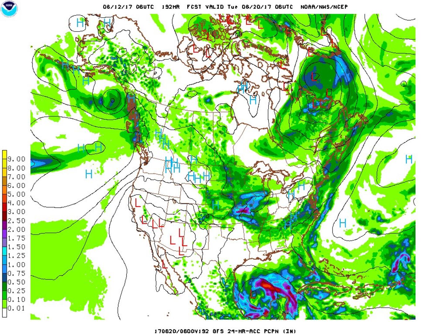
Long range forecast models - & the overall pattern - continue to hit on the potential for Gulf of Mexico development (approx. June 18-23rd). General lower pressures are likely at lower latitudes (south of 30 degrees N), so this - the Gulf - could be an area to closely watch over the next week or so. The forecast chart below on the GFS model is at 500 mb for early Mon., June 19th indicates the "softness" - trofiness -- over the Gulf of Mexico. This could very well be a favored area for some early season tropical mischief but would take some time manifesting itself (if at all!). The European forecast model has jumped onboard too... & has been trending west along with the GFS recently lending some confidence to tropical development in an area favored during the first month of the hurricane season. The early call is for a tropical low near the Yucatan Peninsula early next week. Interaction with land -- Yucatan Peninsula - may inhibit much development initially. Still plenty of time to see how things might evolve.
The map below is the GFS model for early Tue., June 20th. The model has recently trended a little more south & west & a little slower. OF COURSE - this is long range so there will likely be changes & adjustments(!)... with much of where a potential system goes dependent on any interaction with an upper level trough of low pressure to the north across the U.S. as well as positioning of a building upper high for the U.S. desert southwest... & the expanding Bermuda high over the W. Atlantic.
The E. Pacific could be a clue to the potential long range development near the Yucatan Peninsula on the Atlantic side. Tropical depression three-E has formed over the coast of Southern Mexico & will bring heavy rain to parts of Mexico. Proximity to land will limit overall development.


